
Expertise 02
Geological& Geotechnical Assessment
A reliable design starts with a ground model that explains what is present, how it may behave and which uncertainties matter. DFEC combines available information, targeted field observations and appropriate investigation data to establish a clear basis for design and risk management.
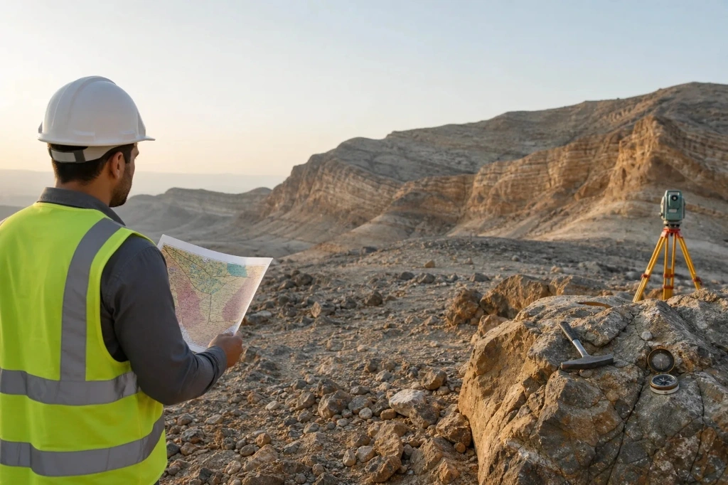
Work typically begins with a desk study of available geological, hydrogeological and project records, followed by targeted site reconnaissance. Investigation is planned against the actual decisions it must support—slope geometry, foundation type, excavation method—rather than a standard borehole grid.
Interpretive reporting sets out the ground model, material parameters, groundwater conditions and residual uncertainties so that design and procurement can proceed with a clear view of risk.
Engage DFEC
Facing a complex groundor slope problem?
Engage DFEC early to define the risk, evaluate practical options and develop a buildable engineering solution.